

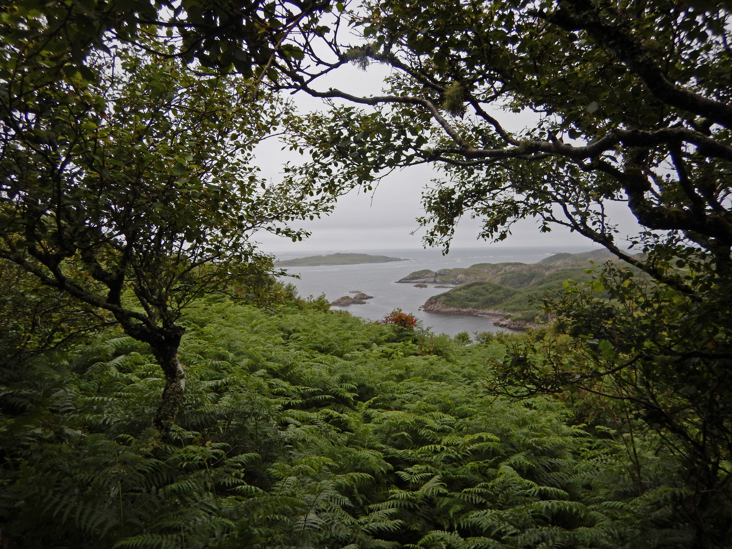
KNOCKvologan is nestled 3 miles to the south of Fionnphort, on the southwestern tip of the 'Ross' of the Isle of Mull, one of the larger Hebridean islands on the west coast of Scotland. Gazing westward, you can behold both the Isle of Iona and the tidal island of Erraid. Just a 15-minute walk to the south leads you to the pristine white sandy beaches of Knockvologan. In this region, you won't find conifer plantations; instead, the area is distinguished by its untouched, remote, and challenging-to-reach native Celtic rainforest, bogs, heather, and a spectacular rocky coastline.
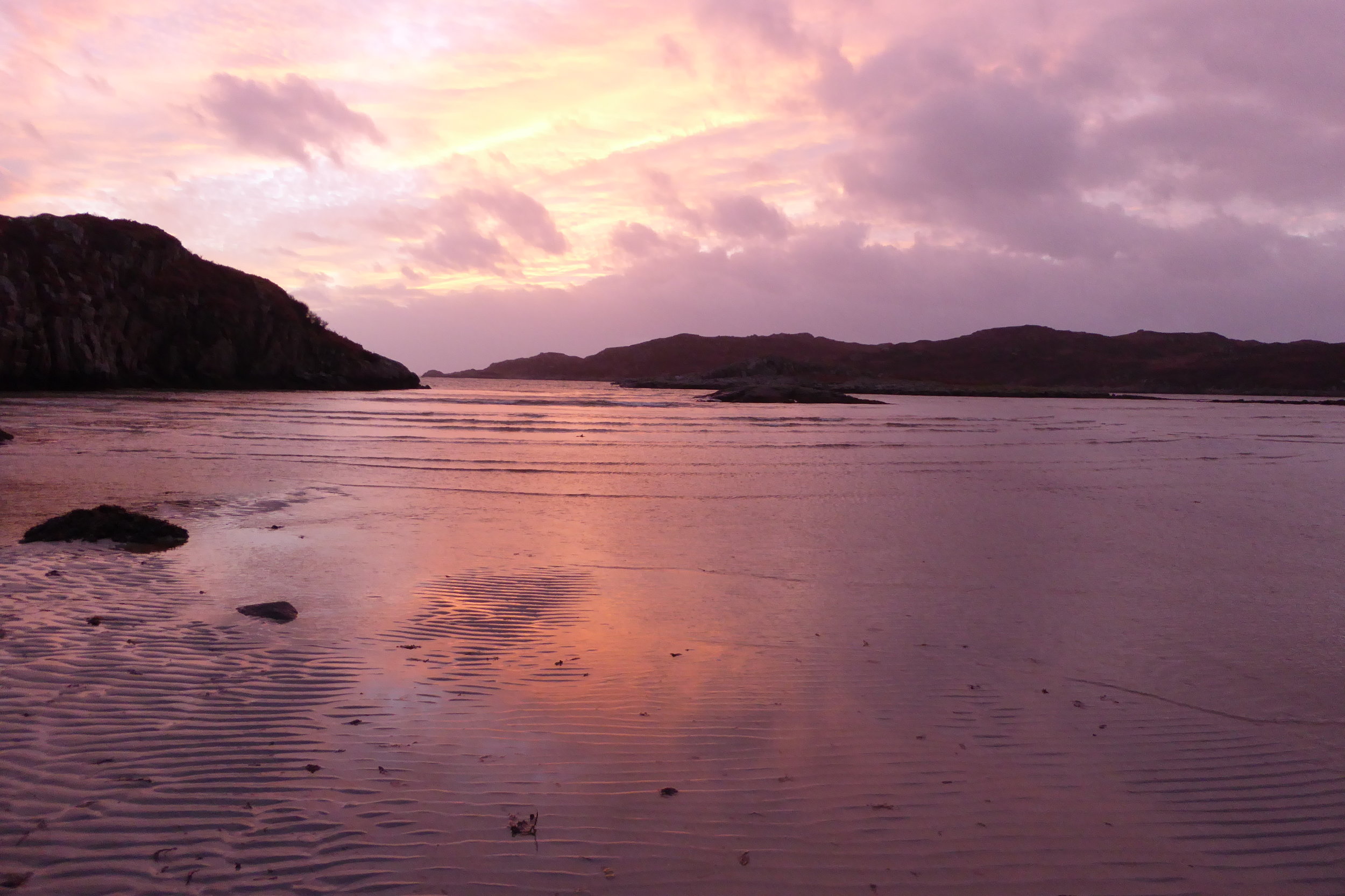
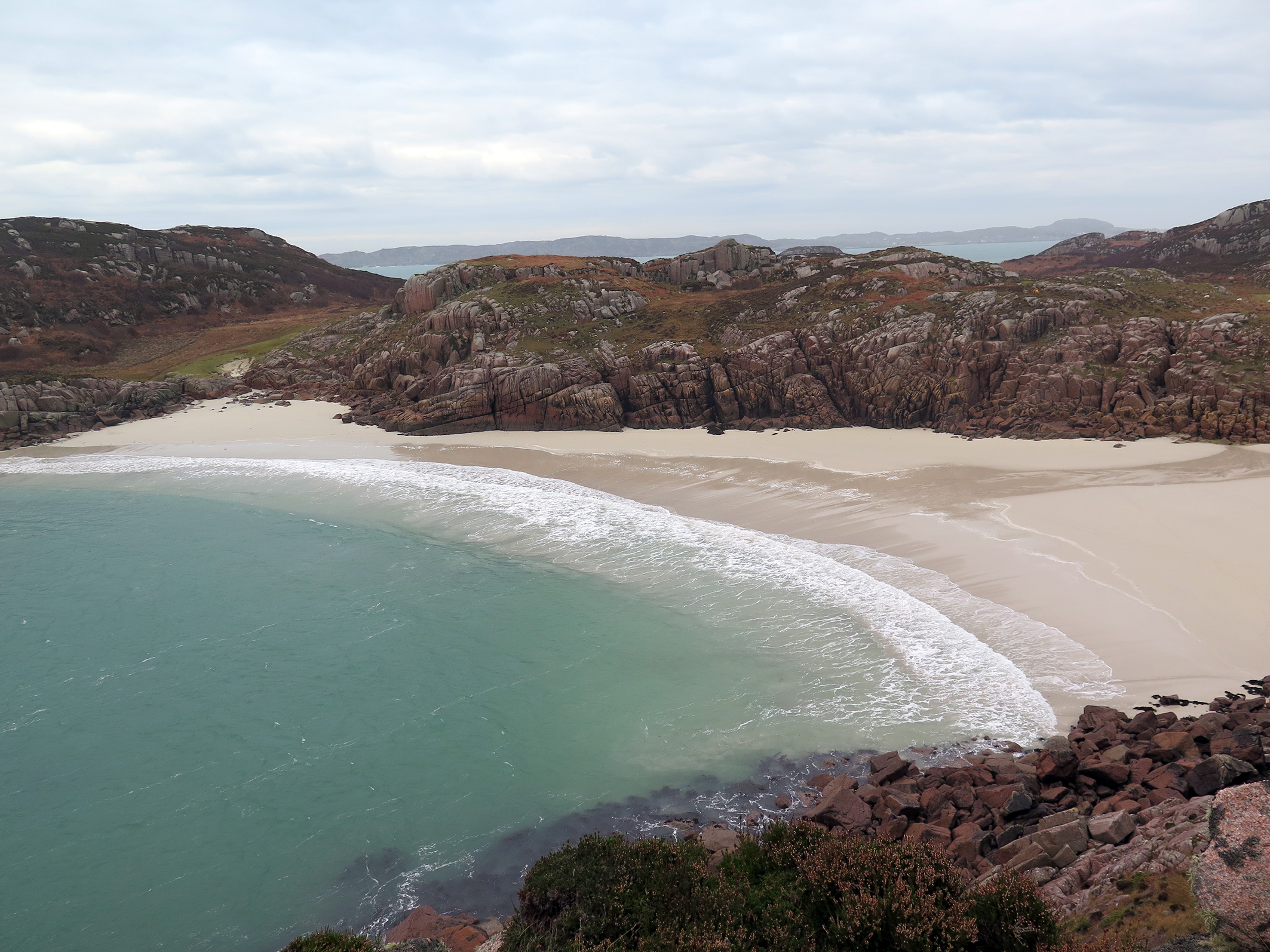
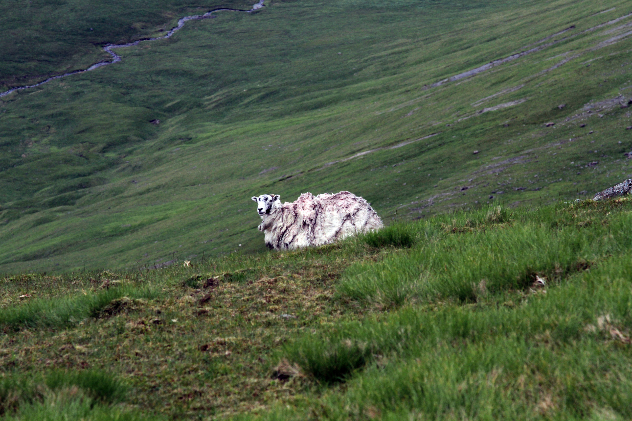
Adjacent to our house is the starting point of the path that leads into the Tireragan estate. This estate encompasses 625 hectares of rugged, wild land, characterized by its unusual remoteness and inaccessibility, even by Mull standards. Walking in this terrain is demanding and requires determination. However, the diverse landscape can be incredibly rewarding. A muddy and slippery two-hour hike will take you to Traigh Gheal beach, a breathtaking, sweeping bay of white sand framed by granite cliffs adorned with wildflowers. The combination of restricted grazing (the area is fenced to keep out sheep and cattle), limited human access, the clean ocean air, and high humidity has nurtured a terrain rich in lichen, mosses, and ferns. In the sheltered gullies, you can discover centuries-old oak trees, while the open moorland provides an ideal habitat for eagles and hen harriers.
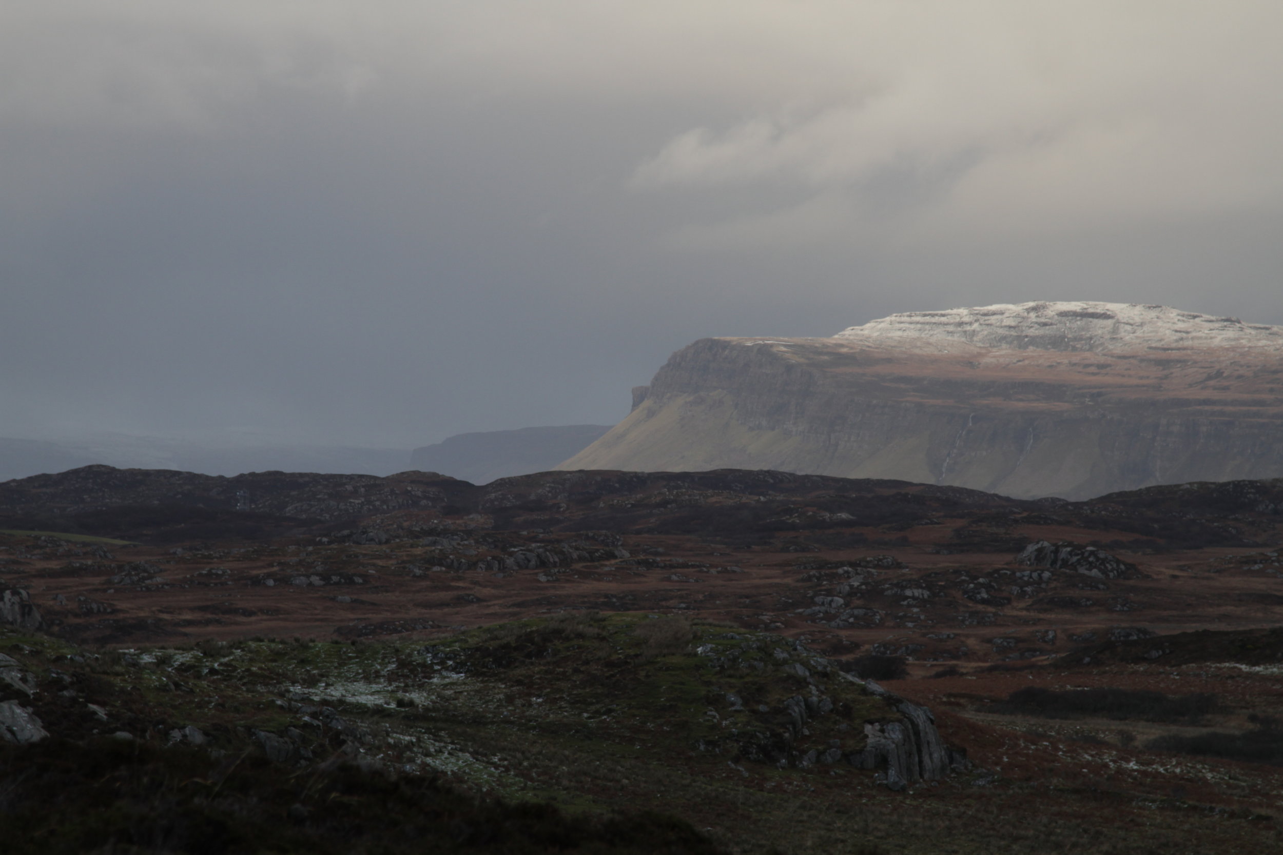

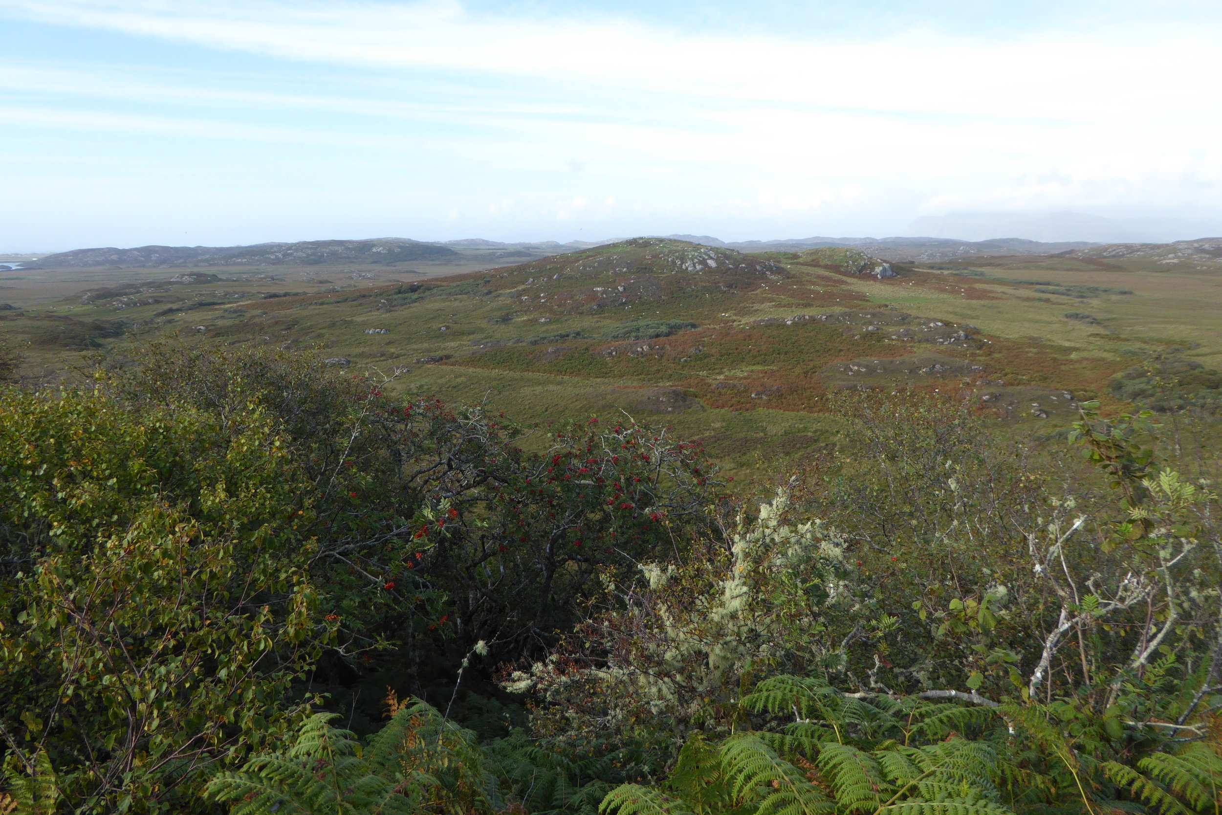
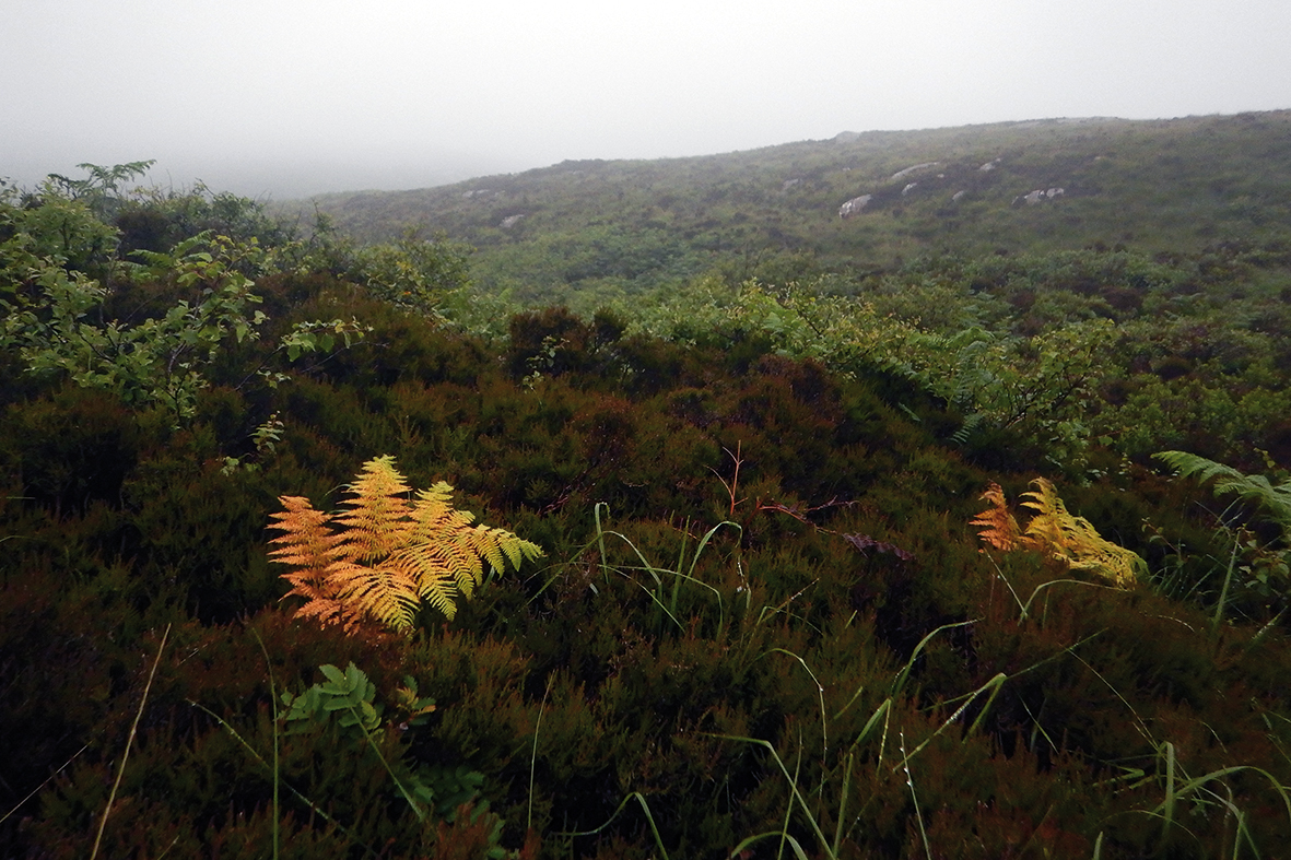
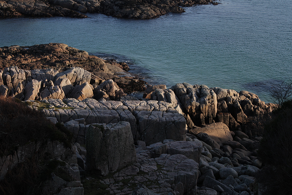
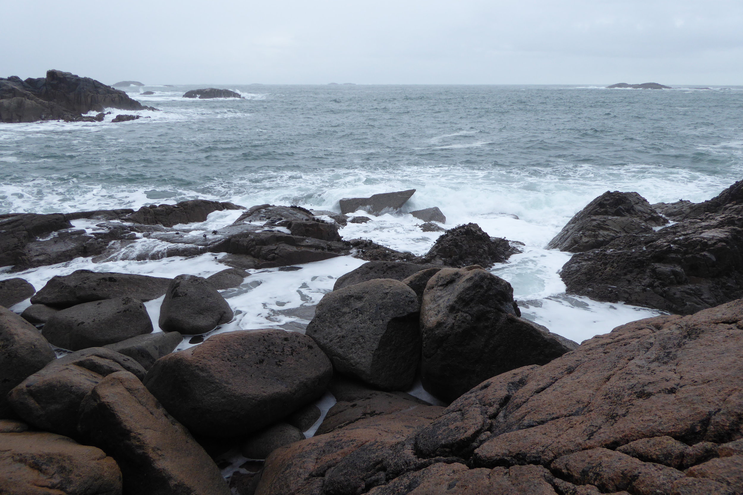
Few places on Mull are as remote from surfaced roads in all directions as KNOCKvologan. The sense of wilderness is heightened by the exceptionally rocky coastline, wooded ravines, extensive bogs, and the scarcity of visible human signs. Tireragan's most distinctive feature is its mosaic of habitats, showcasing the climatic and geological conditions that create an upland ecosystem at sea level.
Geology
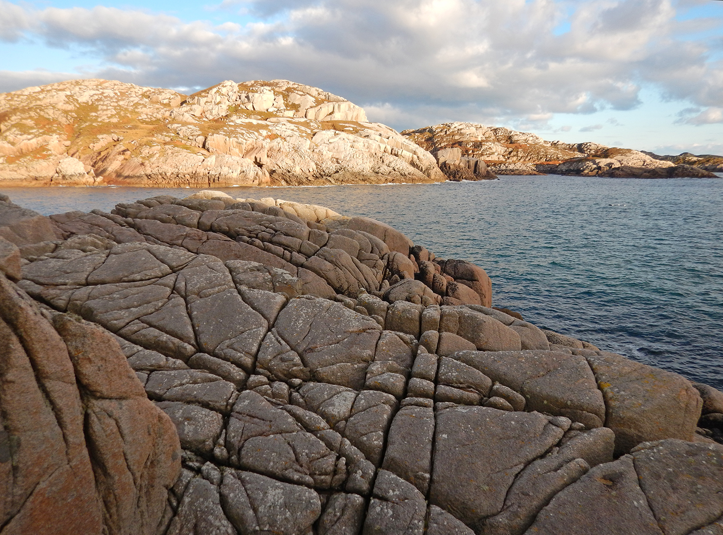
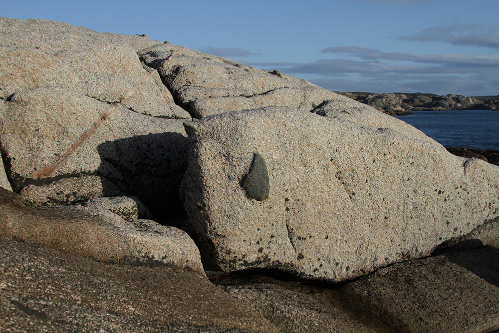
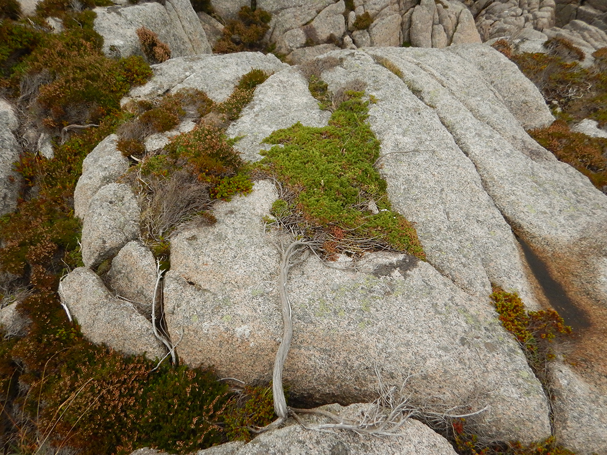
The entire estate is underlain by the Ross of Mull granite, a Devonian intrusion dating back some 400 million years. Elevations range from sea level to a maximum of 104 meters at Beinn Cholarich. While it may appear superficially simple, a closer examination reveals a more intricate geological history. The granite intrusion into the surrounding Moine Schists has left behind xenoliths of various sizes throughout Tireragan. These remnants of Moine Schist, only partially assimilated by the rising granite, are richer in calcium carbonate compared to the surrounding granite, leading to the development of distinct flora and fauna in these areas.


Flora
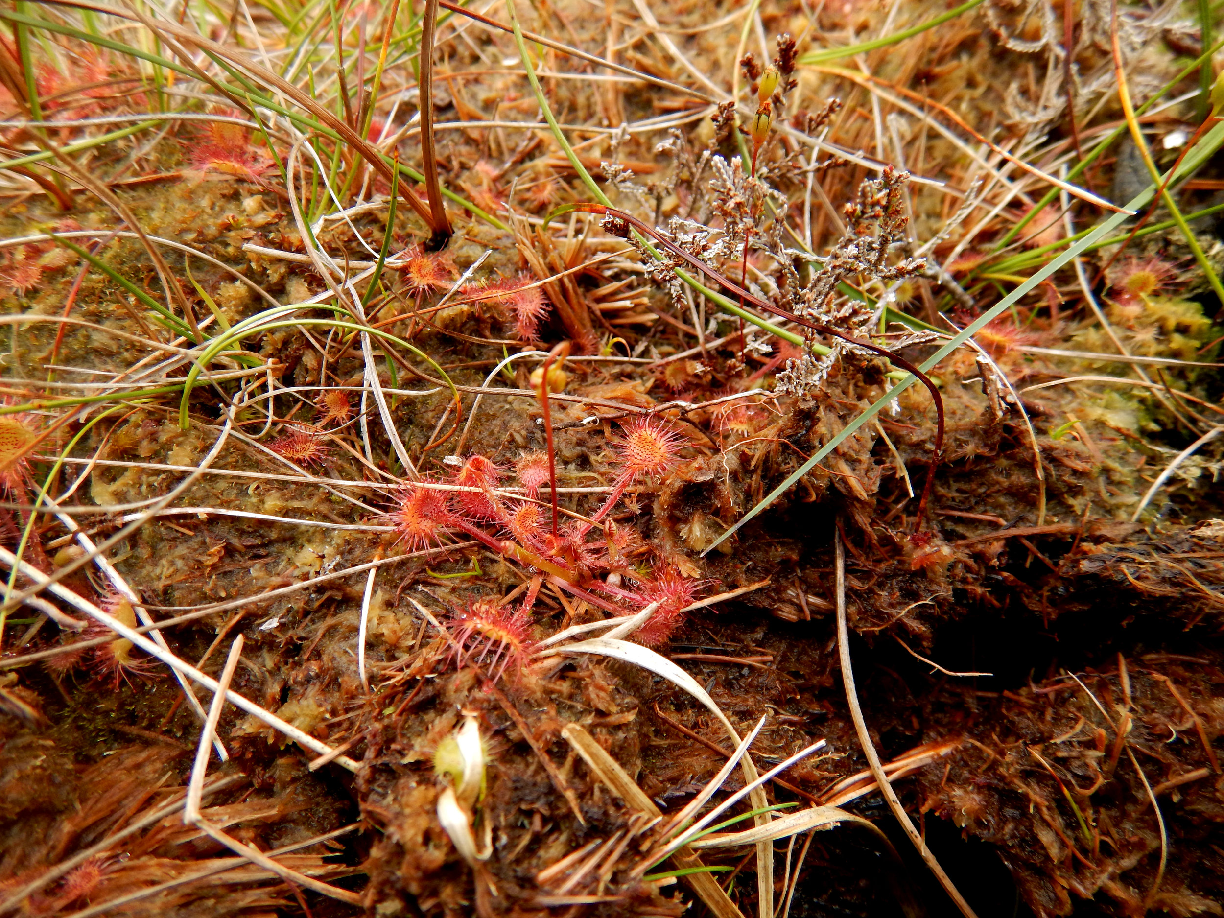
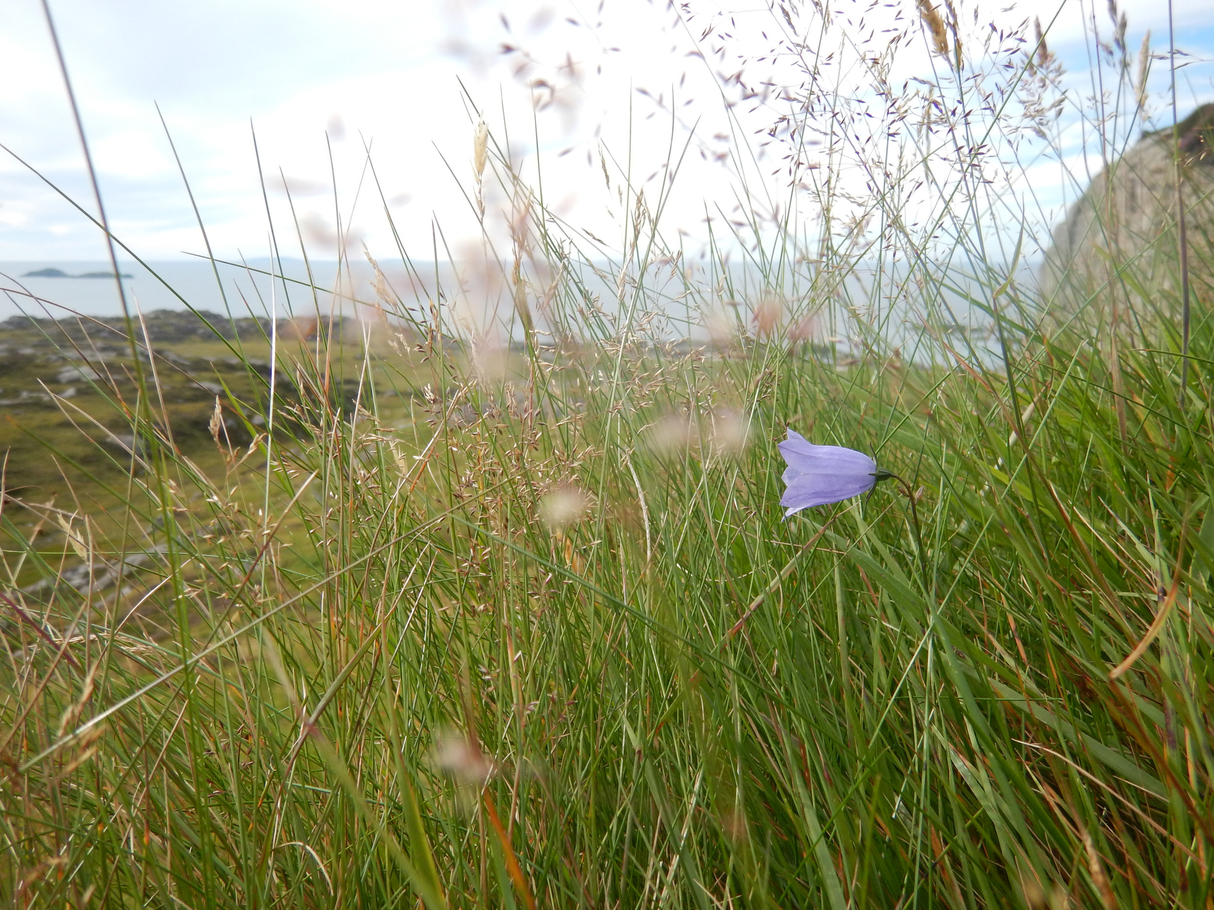
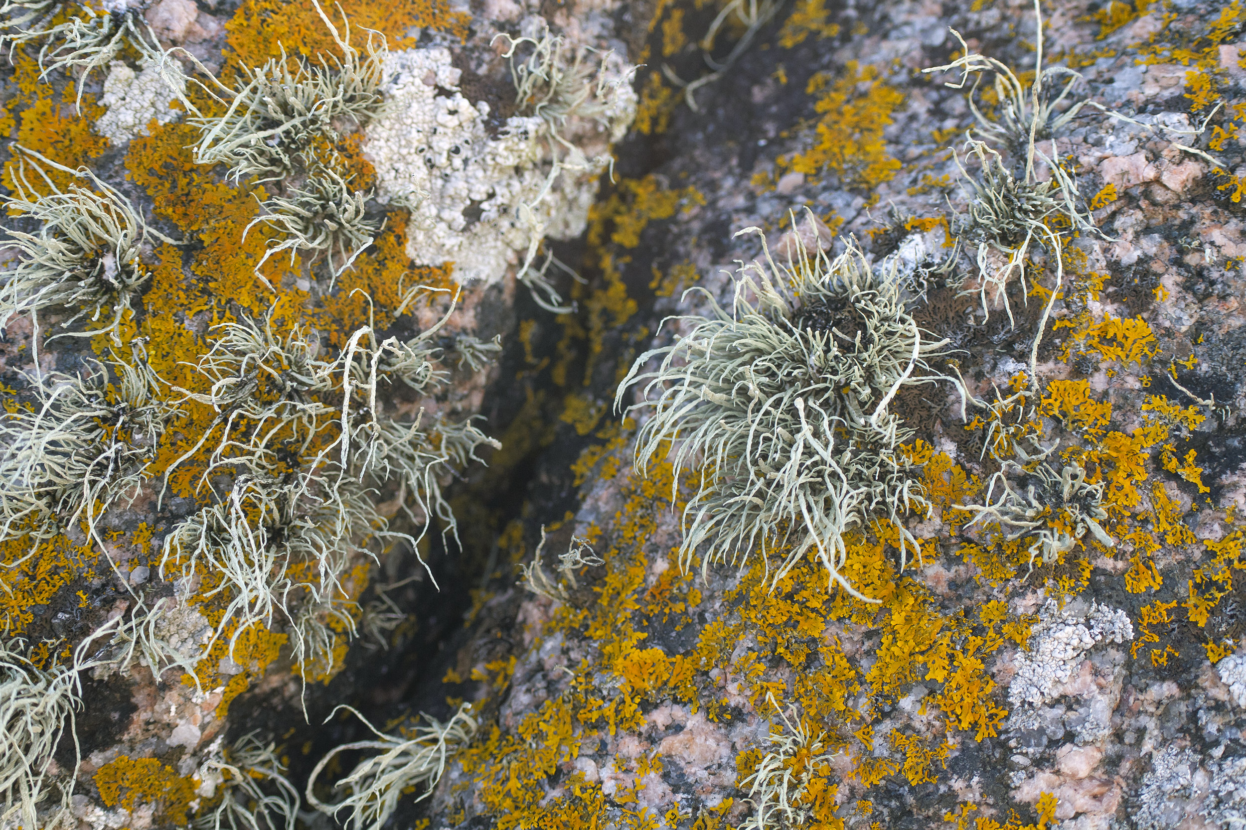
Tireragan's landscape is predominantly characterized by bog, heath, and woodlands. The patches of woodland stand as remnants of ancient natural forests, featuring downy birch, sessile oak, willow, rowan, hazel, and aspen as the principal species. These woodlands are nestled within gullies, and they play a vital role in supporting a rich variety of lower plants that thrive both on and beneath the trees. Depending on the season, you'll encounter sundew, bog asphodel, wild thyme, bog myrtle, roses, brambles, wild orchids, and an exceptionally diverse array of ferns, mosses, lichens, and liverworts.

Fauna
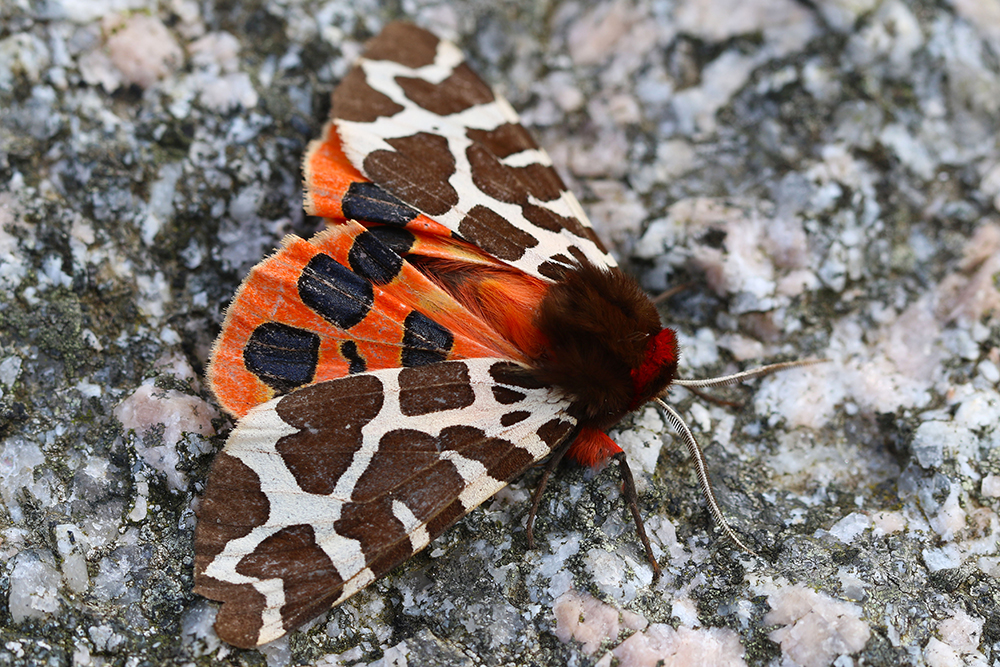
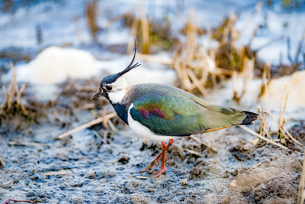
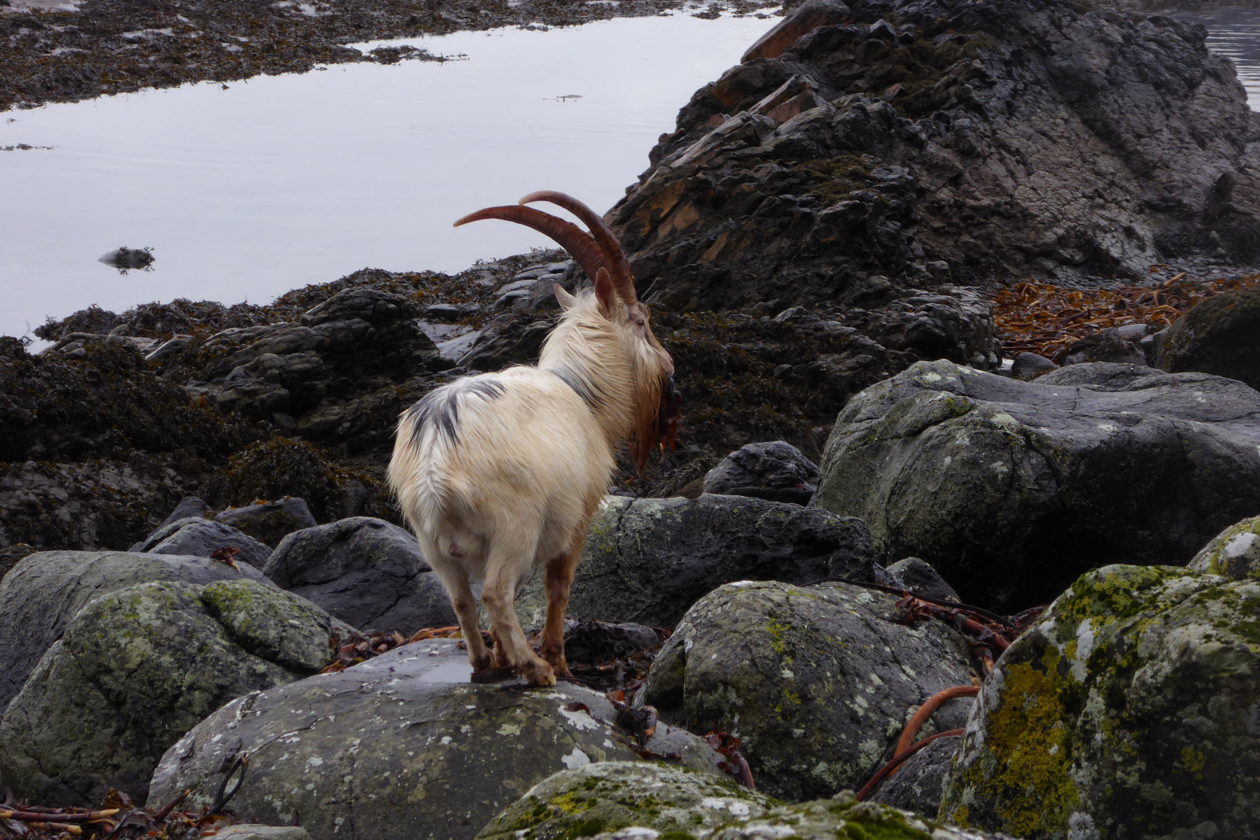
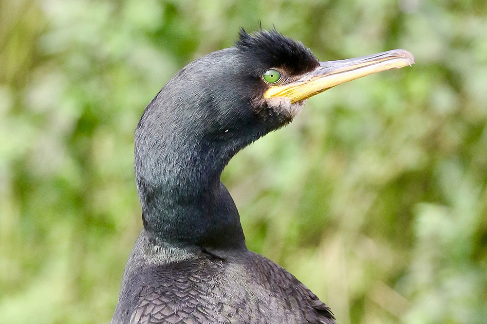
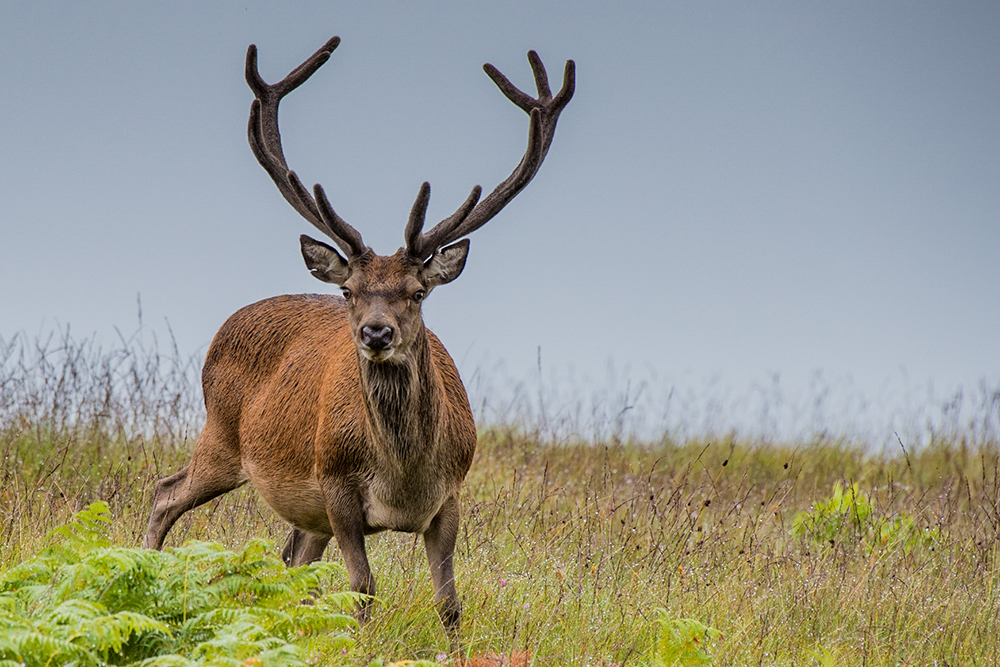
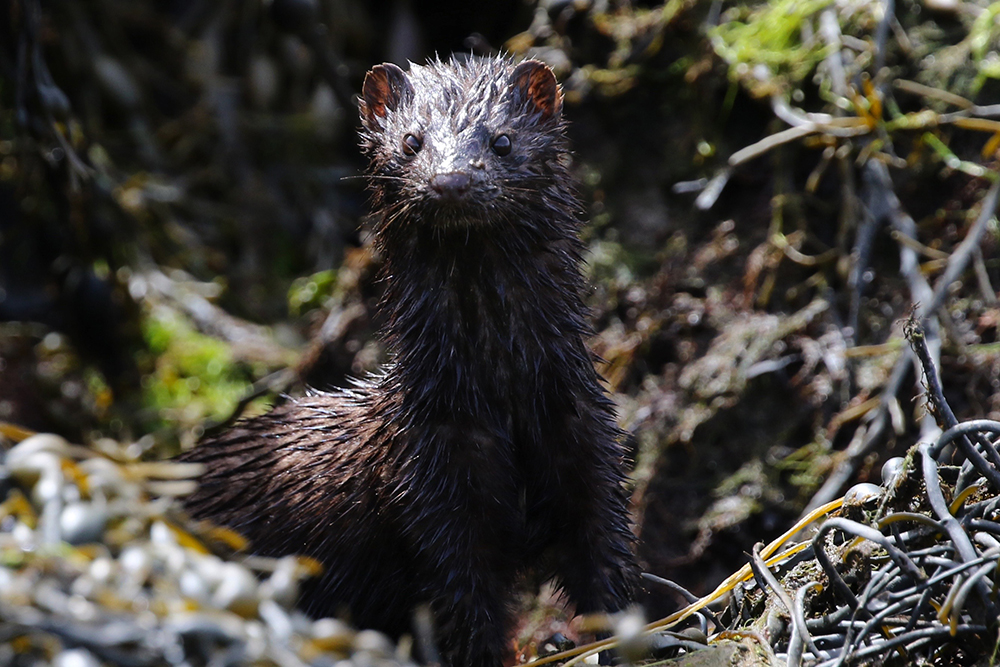
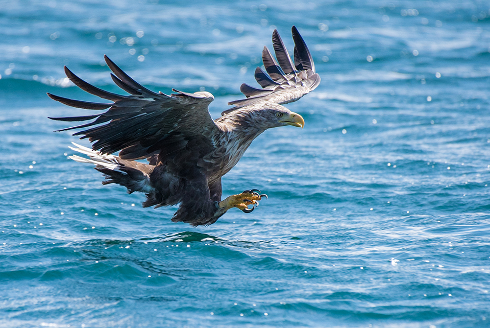
Mull is renowned as one of the best locations in Scotland for observing birds of prey, and Tireragan is no exception. Here, you can frequently witness golden eagles, buzzards, hen harriers, kestrels, sparrow hawks, merlins, and short-eared owls in their natural hunting habitats. Otters are a common sight along the southern shore, and while traversing the path to Traigh Gheal beach, you have a good chance of encountering hares, rabbits, red deer, and adders.


Human history
While the prehistory of Tireragan remains largely shrouded in mystery, some remnants suggest that people inhabited the area approximately 6,000 years ago. Scattered across the Ross of Mull are Neolithic standing stones, along with burial and clearance cairns, as well as the remains of dwellings and forts from the Bronze and Iron Ages. The more recent history is better documented, and Tireragan, like the entire Highlands and Islands, experienced the impact of the 19th Century clearances, which led to the removal of over half a million people from the land. Tireragan once encompassed a township consisting of five clachans and individual houses, with records indicating over 100 residents prior to depopulation. Today, you can still spot the ruins of many of these dwellings, emerging from the bracken and heather.

Land Management and Way of Life
In the days of old, the villagers in Tireragan held their land in common, practicing a unique system known as ‘lazy-beds.' Each year, the best land was allocated to tenants through lot-drawing, ensuring everyone had a chance to cultivate fertile soil. The 'infields,' or the more productive lands, were meticulously cared for, with long strips of farmland separated by ditches known somewhat ironically as 'lazy beds.' These beds were cleared of stones and plowed by hand. The less fertile grounds, called 'outfields,' were also cultivated using the same 'lazy beds' technique and rotated as needed. During the winter, when the bracken lay dormant, the landscape still bears the outline of these lazy beds in many areas.
In the summer, cattle were driven onto the hills, and herders resided in seasonal dwellings known as 'shielings.' The people of Tireragan maintained a rich culture, steeped in Gaelic song, storytelling, and dance, elements of which continue to thrive to this day.